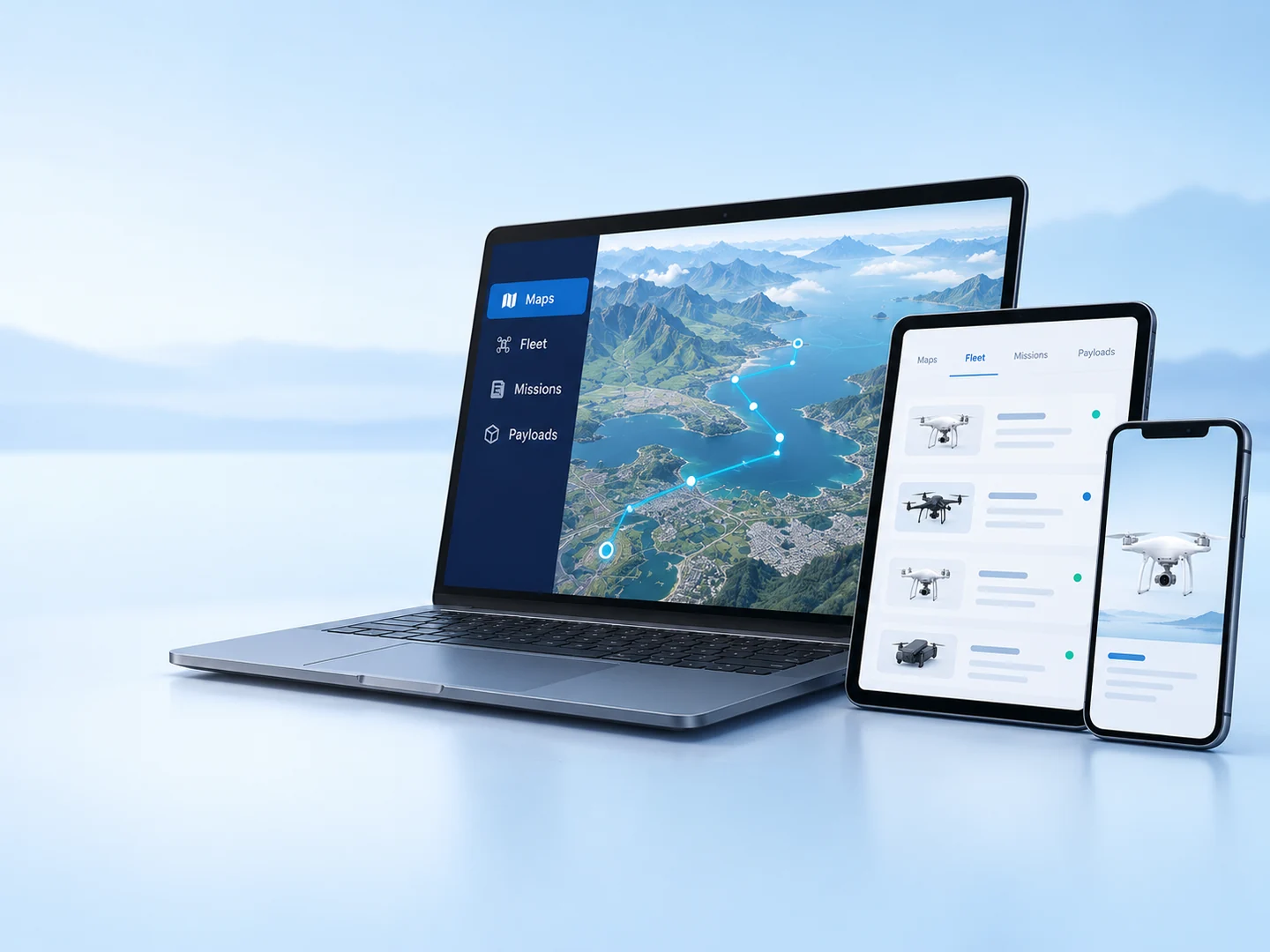
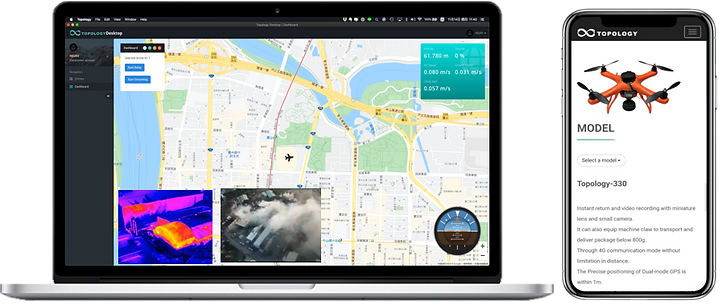
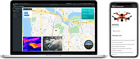
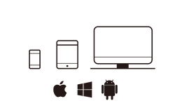
Cloud service, across devices. The historical platform describes one account on different devices for interacting with connected aircraft. Its encryption and command-control claims require a current technical review.
Retained original-supplier concept · “Connecting without the sky limit.” Current software, API access, security and service availability are confirmed per project.
The mission of the Topology ground station is described as the IoT transformation of the drone industry: using connected data and remote guidance to bring useful applications closer to people.
The original vision combines big data, IoT and 4G guidance/control with aircraft that can reach beyond the ground. The sections below explain that complete platform story in plain English.
Based on retained 合機 (Hé Jī) material. Current service availability, interfaces and operating configuration are confirmed per project.
AI-generated feature illustration · Based on the historical description, not a product screenshot or test result.
01 / MAPS & FLIGHT PLANNING
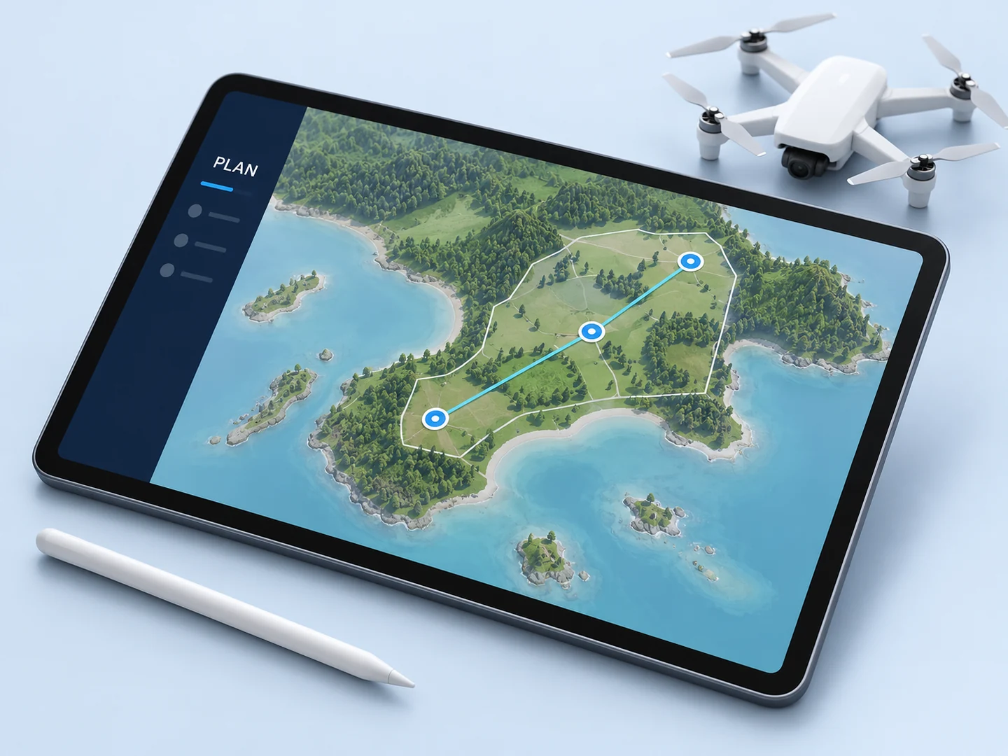
Start with a place. Give the mission a plan.
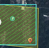
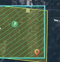
The original platform introduces flight planning and map management as the operator’s starting point. Bring the area of work, observation points and intended outcome into one view before reviewing a flight.
For the operator who needs to understand where the job happens and what needs observing.
Bring to the review
Site and country, boundaries, required observations and operating constraints.
Define as the first output
An agreed mission brief and a map-based planning workflow.
AI-generated feature illustration · Based on the historical description, not a product screenshot or test result.
02 / FLEET MANAGEMENT
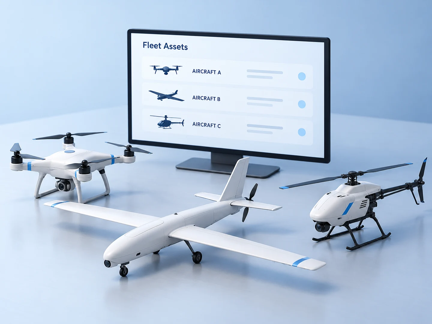
A fleet is more than a list of aircraft.
The retained Topology description brings deployment, maintenance, asset management and forms together. The purpose is to help an operator understand which equipment belongs to the fleet and what information is needed before assigning it.
For the fleet manager coordinating equipment, maintenance and readiness.
Bring to the review
Vehicle models, configuration versions, maintenance records and responsible operators.
Define as the first output
A fleet register and a readiness checklist with unresolved items visible.
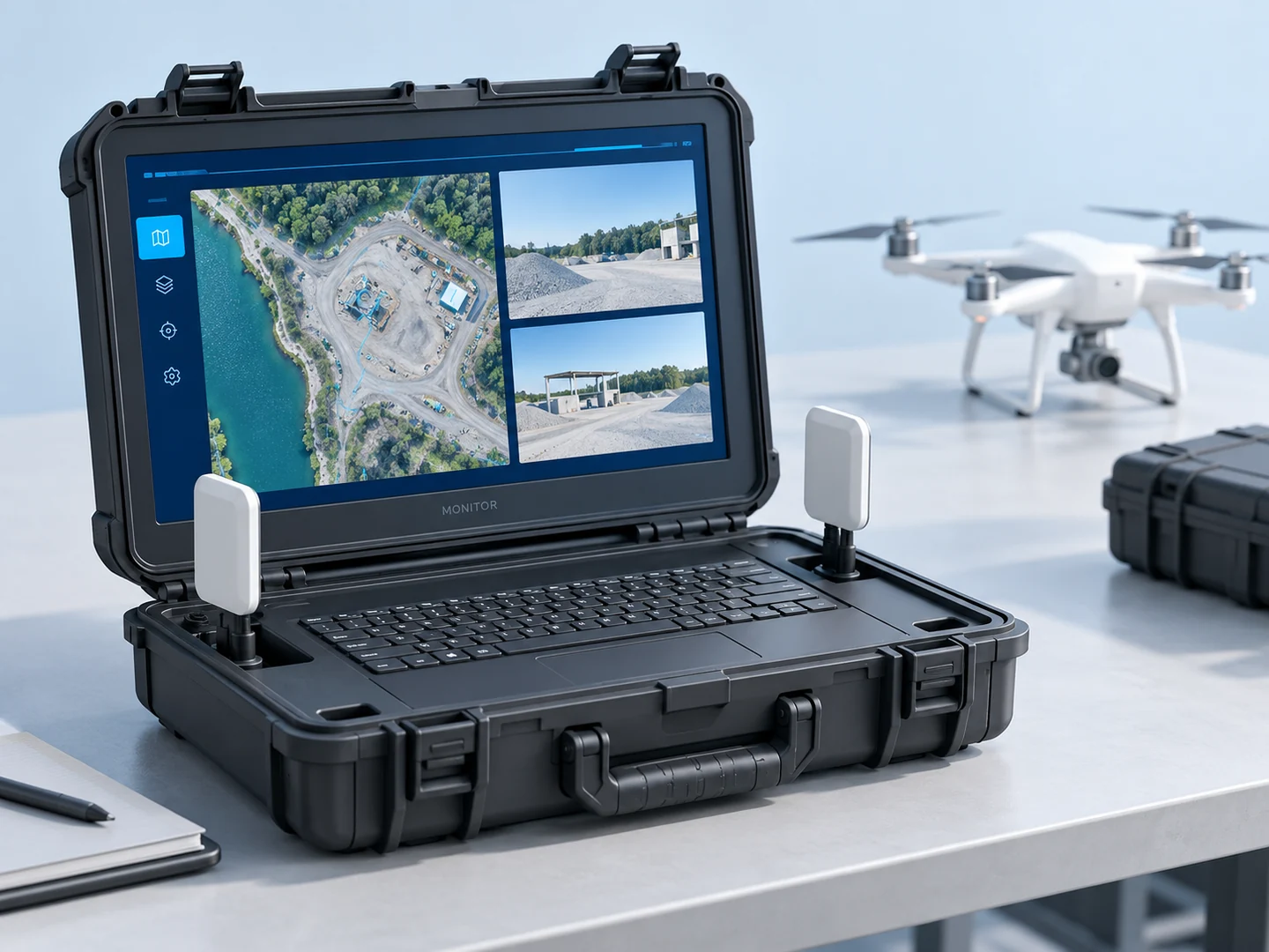
AI-generated feature illustration · Based on the historical description, not a product screenshot or test result.
03 / MISSION MANAGEMENT
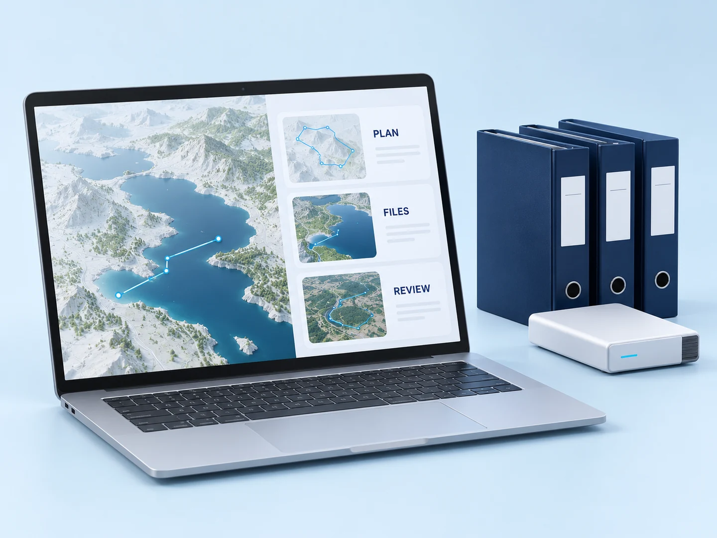
Keep the record after the aircraft lands.
The original material describes GIS-based mission deployment and historical-record retrieval, including accumulated flight hours and mission experience. A useful record links the work performed to its place, files and review history.
For the supervisor who needs to revisit a mission and understand its outcome.
Bring to the review
Mission identifiers, timestamps, flight logs, source files and review requirements.
Define as the first output
A mission record, evidence manifest and a traceable handover.
AI-generated feature illustration · Based on the historical description, not a product screenshot or test result.
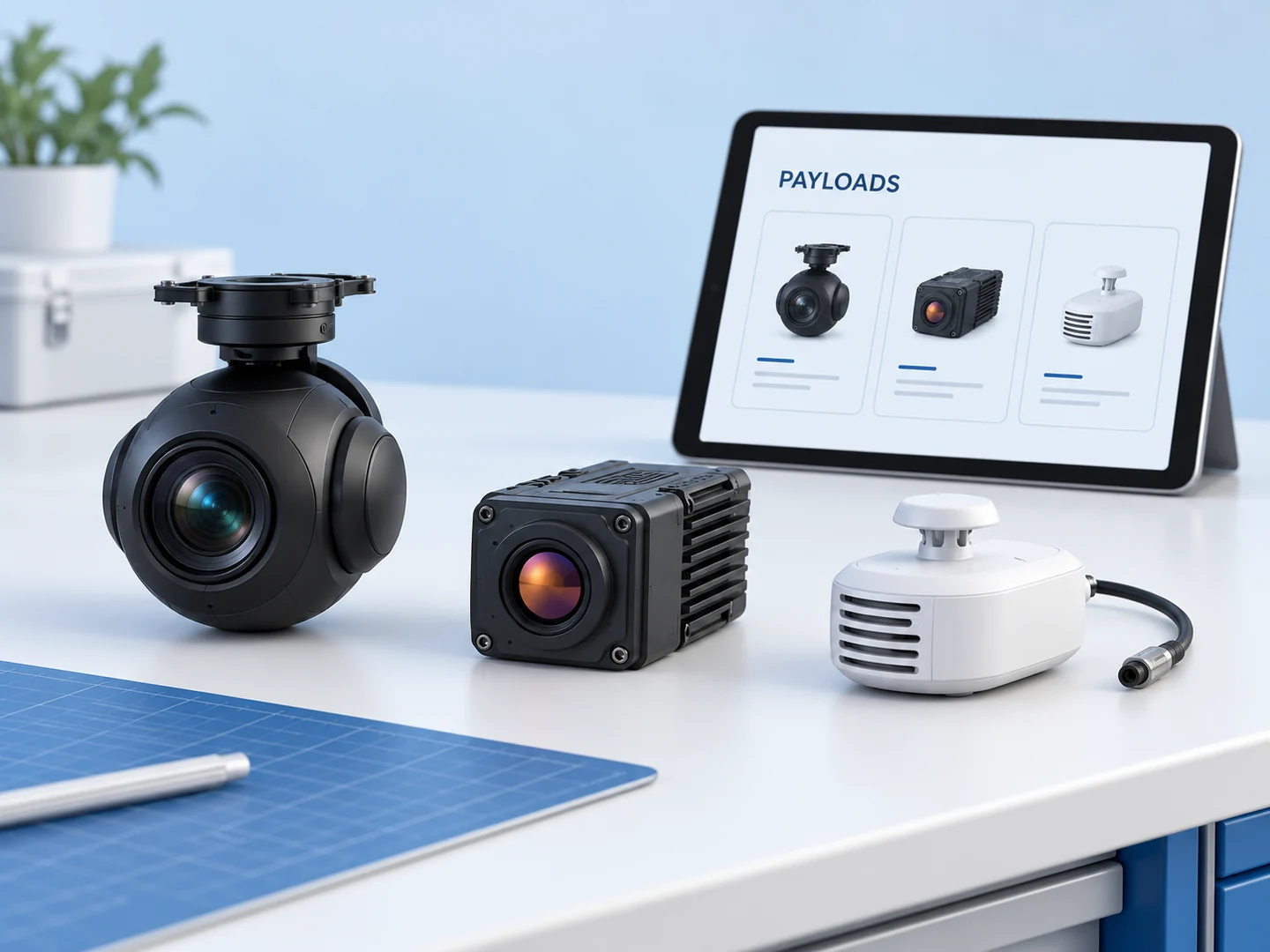
04 / PAYLOAD MANAGEMENT
Choose the instrument for the question.
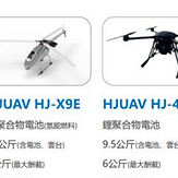
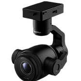
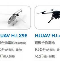
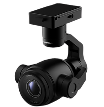
Topology’s original payload section describes interchangeable equipment for different applications. The aircraft carries the instrument; the camera or sensor determines what can be observed. Its mounting, power and data interface must suit the selected configuration.
For the application owner choosing which images or measurements are needed.
Bring to the review
Sensor model, required finding, mounting envelope, power and data format.
AI-generated feature illustration · Based on the historical description, not a product screenshot or test result.
05 / 4G & 5G CLOUD MONITORING
Bring the field into the operator’s view.
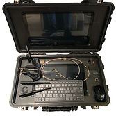
The retained platform material describes cellular and cloud monitoring, remote operation and real-time updates. The ground station is the place to review vehicle status and payload information; network coverage and stale-data handling determine what that view can reliably show.
For the operator coordinating field activity from a ground workspace.
Bring to the review
Country, network coverage, radio configuration, authorised users and data restrictions.
Define as the first output
A communication and monitoring workflow with a loss-of-link test plan.
Select a step to see what the operator needs and what the next person receives. Try the connection examples, review the checklist and download a demonstration brief.
TOPOLOGYMission workspace
INTERACTIVE DEMO · NO CONNECTED AIRCRAFT
01 / PLAN
Start with the place and the question.
EXAMPLE
A Intake observationB Structure inspectionC Sensor location
Choose the asset, observation points and the result the operator needs. A map is the starting point for review; it does not authorise a flight.
02 / UNDERSTAND THE BOUNDARIES
What connects to what?
The aircraft flies. The payload observes. A link carries information. The workspace helps people review it. Exact interfaces and permissions are part of the project definition.
FIELD / 01
Aircraft & payload
The flight controller handles aircraft control. A camera or sensor produces observations; a mission computer may process them.
Choose the hosting and data path only after the available interfaces, licences and operating requirements are confirmed. This diagram proposes responsibility boundaries; it does not establish an available API or a validated safety architecture.
03 / DEFINE THE APPLICATION
Build around a real operational decision.
For an operator, fleet manager or integration team, the first useful output is a workflow everyone can review. Use it to agree the scope before promising a connected product.
What you bring
The site, country and task to perform
Aircraft, payload and firmware versions
Existing networks, accounts and interfaces
Data restrictions and preferred hosting location
A decision owner and the evidence they need
Unknown information can remain “not yet determined”.
Replay permitted sample records, mark stale data, interrupt and restore a test link, reconcile file IDs and verify permissions. Record the setup and results. Hardware, network and flight tests remain not executed on this page.
Innovex · Overseas Community Affairs Council · Tokyo Maker Faire.
2017
Flight performance at National Taichung Theater · Chunghwa Telecom LTE network-monitoring collaboration.
2016
Aerial monitoring of Taiwan’s Zhuoshui River · Shenzhen Maker Faire.
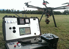
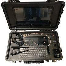
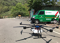
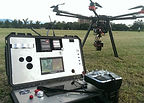
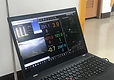
Original field photograph: multirotor aircraft and support vehicle. Open to inspect the retained image. Exact event attribution is not supplied.Original laptop monitoring photograph from the company record. Open to inspect the retained image. Exact event attribution is not supplied.Original aircraft and field ground-control equipment photograph. Open to inspect the retained image. Exact event attribution is not supplied.
HOW IT WORKS / ORIGINAL VIDEO
Watch the platform in its original context.
The retained Topology video is available here in the main page. Its original content and audio are preserved. Review it alongside the source records; it is not a demonstration of newly connected hardware.
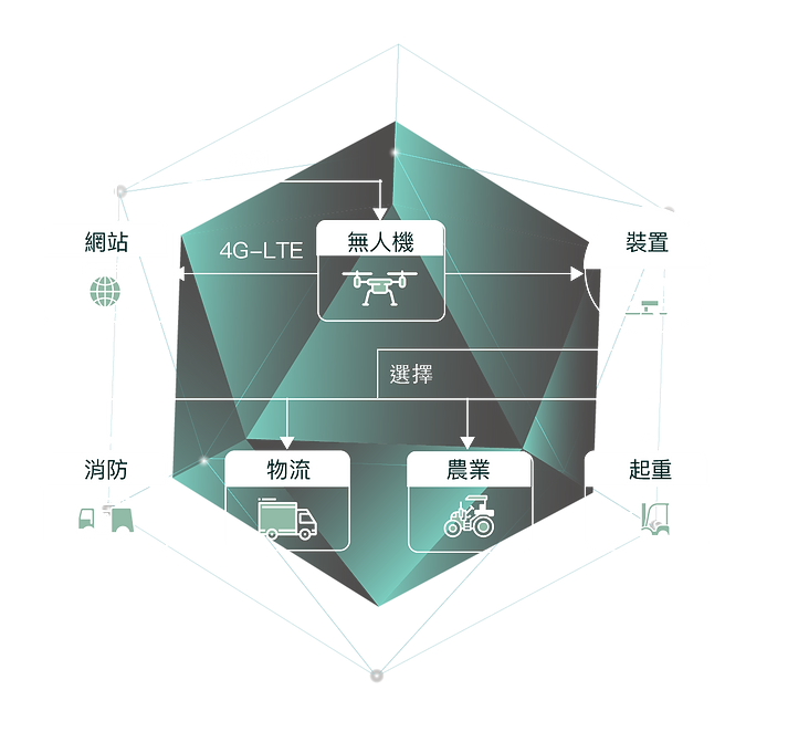
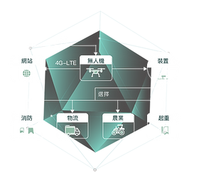
The retained application diagram connects the unmanned aircraft concept with networking, installation, firefighting, logistics, agriculture and energy. These are application categories; each implementation still needs its own equipment, interface and operating review.
04 / TRACE THE SOURCE
Original context. Clear current limits.
The retained 合機 (Hé Jī) material describes maps, fleet and mission management, payloads and cellular/cloud monitoring. These are company-published descriptions, separate from this new demonstration.
Historical experience
The original page lists a 2019 Alishan logistics test, 2017 LTE monitoring collaboration and other events. These remain historical company accounts, with their original dates and images preserved below.
Current service availability, API/SDK access, encryption implementation, account controls, hosting, retention, software licences, integrations, staffing, price and delivery schedule remain to be confirmed.
Sources and current-use labels reviewed 20 October 2026. The visual and example workflow are editorial illustrations (I); undocumented interfaces and test results remain unknown (U).
COMPLETE CONTENT / ORIGINAL COMPANY RECORD
See the details. Inspect the source.
The original text, specifications, images and media are arranged below for direct reading. Company-published claims remain attributed to their source; they are not new test results or current delivery commitments.
Original source image 1 · Original image; click to enlarge
TOPOLOGY-03.png · Original image; click to enlarge
02 / HISTORICAL SUPPLIER SOURCE · P2
The mission of Topology ground station
IoT transformation of the drone industry
We believe our work creates new possibilities and a better life for the next generation. Big data and IoT bring technology closer to people. Drones escape the constraints of gravity, while 4G remote guidance and control explore new possibilities and create meaningful value.
TOPOLOGY2.png · Original image; click to enlarge
03 / HISTORICAL SUPPLIER SOURCE · P2
Cloud service
The source describes its encryption as the most stringent and says one account across different devices can send mission commands to all connected aircraft. It presents a simple interface for completing flight missions with finger gestures.
cloud-2.png · Original image; click to enlarge
04 / HISTORICAL SUPPLIER SOURCE · P2
Start flight planning
Original source image 5 · Original image; click to enlarge
game.png · Original image; click to enlarge
05 / HISTORICAL SUPPLIER SOURCE · P2
Fleet management
Manage fleet deployment and maintenance, supported by asset management and forms as a logistics backbone.
Original source image 7 · Original image; click to enlarge
06 / HISTORICAL SUPPLIER SOURCE · P2
Mission management
GIS-based mission deployment and historical-record retrieval preserve each mission's records and accumulated flying hours and experience.
TOPOLOGY_edited.jpg · Original image; click to enlarge
07 / HISTORICAL SUPPLIER SOURCE · P2
Payload management
Interchangeable mission payloads support different application environments so each mission has suitable capability.
Original source image 9 · Original image; click to enlarge
08 / HISTORICAL SUPPLIER SOURCE · P2
4G / 5G cloud monitoring platform
Real-time data updates and monitoring
Accessible remote operation
GCS.jpg · Original image; click to enlarge
09 / HISTORICAL SUPPLIER SOURCE · P2
Experience
Event list
▸ 2019 — Alishan remote-area 4G logistics test
▸ 2018 - Innovex ▸ 2018 — Overseas Community Affairs Council ▸ 2018 — Tokyo Maker Faire ▸ 2017 — Flight performance at National Taichung Theater ▸ 2017 — Chunghwa Telecom LTE network-monitoring collaboration ▸ 2016 — Aerial monitoring of Taiwan's Zhuoshui River ▸ 2016 — Shenzhen Maker Faire
IMG_6168.JPG · Original image; click to enlarge
10 / HISTORICAL SUPPLIER SOURCE · P2
IMG_6133.JPG · Original image; click to enlarge
messageImage_1532928407091.jpg · Original image; click to enlarge
11 / HISTORICAL SUPPLIER SOURCE · P2
How it works
Original source image 14 · Original image; click to enlarge
12 / HISTORICAL SUPPLIER SOURCE · P2
Original source image 15 · Original image; click to enlarge
13 / HISTORICAL SUPPLIER SOURCE · P2
Additional original source-view images
Original source image 16 · Original image; click to enlarge
TOPOLOGY-03.png · Original image; click to enlarge
TOPOLOGY2.png · Original image; click to enlarge
Original source image 19 · Original image; click to enlarge
TOPOLOGY_edited.jpg · Original image; click to enlarge
Original source image 21 · Original image; click to enlarge
GCS.jpg · Original image; click to enlarge
IMG_6168.JPG · Original image; click to enlarge
messageImage_1532928407091.jpg · Original image; click to enlarge
IMG_6133.JPG · Original image; click to enlarge
Original source image 26 · Original image; click to enlarge
Original source image 27 · Original image; click to enlarge
cloud-2.png · Original image; click to enlarge
Original source image 29 · Original image; click to enlarge
game.png · Original image; click to enlarge
05 / START WITH ONE WORKFLOW
What should your operator be able to do?
Describe the task and the decision it supports. We can use that brief to discuss screens, integrations, required evidence and who would own the work.
Enquiries are received by BE PASSIVE for coordination. Supply, technical ownership, hosting and quotation are agreed per project. The interactive demo does not submit an enquiry.